Features
- Map — OpenStreetMap with smooth zoom by wheel, pinch and gestures; tiles are cached on disk.
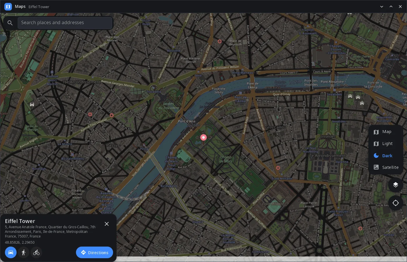
- Layers — Map, Light and Dark (OpenStreetMap under a filter) and Satellite (Esri World Imagery).
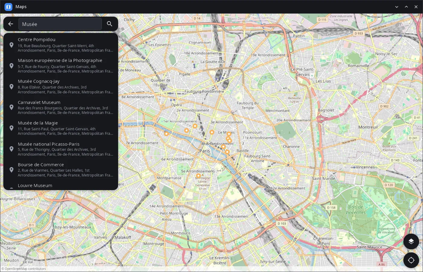
- Search — places and addresses via Nominatim, nearest to the visible area first, names in the interface language.
- Any point — long press (right click with a mouse) drops a pin and looks up its address; the card shows coordinates.
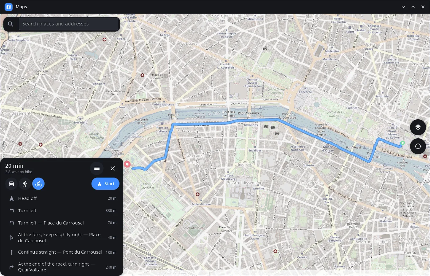
- Routes — by car, on foot or by bike (OSRM servers of FOSSGIS): time, distance and a list of turns with street names; a tap on a turn shows it on the map.
- Navigation — “Start” follows your position and shows the next maneuver with the distance to it and to the end.
- Your location — from GeoClue (on a phone — satellites through the modem); the map follows you until you move it.
- geo: links — opens
geo:links from other applications (x-scheme-handler/geo). - Phone and desktop layout — full-width cards on a phone, a side column on a wide window; the last view and layer are remembered.
- 14 languages — the UI follows the system or the language chosen in synshell.
| Search | Place, dark layer |
|---|---|
 |
 |
Install
Arch Linux (AUR) — x86_64 and aarch64:
yay -S syn-maps-bin      # prebuilt
yay -S syn-maps-git      # built from source
Depends on synshell-core. Your own location needs geoclue. Map tiles, search and routes need an internet connection.
syn-maps is part of the synshell metapackage — the whole desktop: yay -S synshell-bin. From source: cargo build --release -p syn-maps in the synshell repository.
Command line
syn-maps                                  # last view (or your location)
syn-maps 'geo:48.8584,2.2945?z=17'        # open a point
syn-maps --screenshot shot.png --size 1400x900 --page route   # render a view to PNG without a window
Part of synshell
syn-maps is one of the applications of synshell — a Wayland desktop environment in Rust for computers and phones, built on the syngui UI framework.
License
GPL-3.0-only